
Studying local aspects of migration using a new dataset.
Through the use of data, authorities can be better placed to see, understand and respond to the challenges they face. D4I gives new possibilities for using data to better understand the situation within specific cities and to compare across diverse locations.
Mapping migrant communities
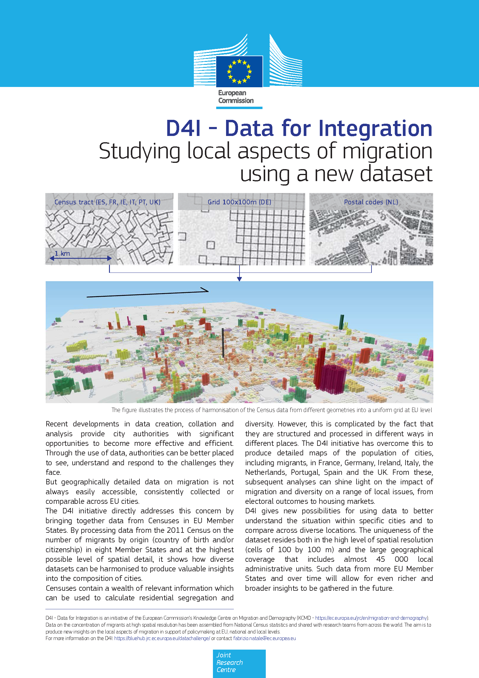
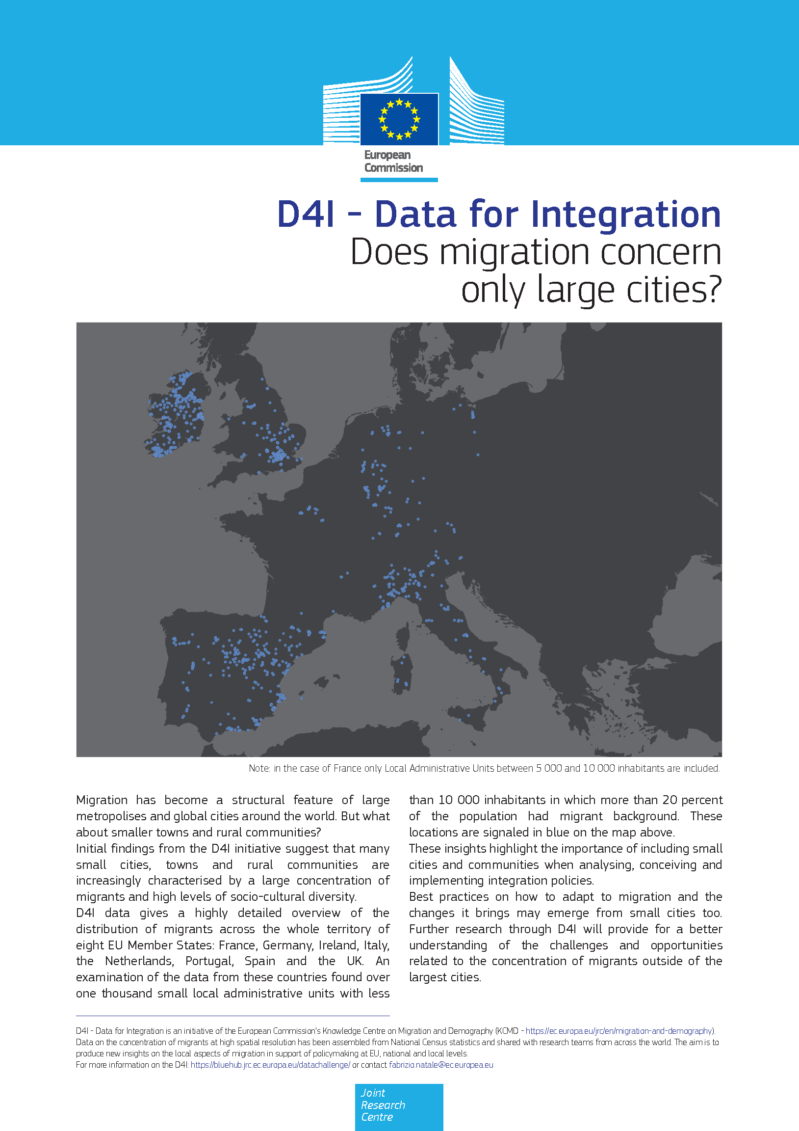
The Data for Integration (D4I) dataset has been obtained through a spatial disaggregation of statistics of the 2011 Census, collected from national statistical institutes. The results of the spatial processing of the original data is a uniform grid showing the concentration of migrants in cells of 100 by 100 m in all cities of eight European countries (France, Germany, Ireland, Italy, Netherlands, Portugal, Spain, the United Kingdom). The migrants are grouped at three different levels of aggregation: by specific country, continent, and EU versus third country origin. A detailed description of the data is provided in this technical report.
Access to D4I data
Access to the D4I dataset is open to all researchers upon request. Please, contact us providing:
- email and affiliation of the principal investigator carrying out the study;
- a brief description (max 300 words) of the project, explaining the reason to use the dataset;
- the expected date of any publication or output based on the dataset;
- Form on the Terms and Conditions for the use of D4I data signed by the principal investigator.
The provided information will be confidential and stored exclusively to keep track of the projects and studies using the dataset. After submitting a complete request, applicants will receive a link to an ftp site and the credentials to download the data.
Requests should be submitted to: jrc-d4i@ec.europa.eu
Please feel free to contact us for any request of additional information.
D4I data challenge
The data challenge was launched in October 2017. Through this data challenge, the new dataset was made available to researchers wordlwide. 24 project teams participated in the challenge, fostering research on local aspects of integration of migrants ( D4I - List of accepted proposals).
In November 2018, the best research projects from all the participating proposals were presented in a workshop in Brussels. The studies were selected equally considering the scientific value of the papers and their policy relevance for local integration. The following technical report summarises the main findings of the D4I data challenge:
Diversity, residential segregation, concentration of migrants: a comparison across EU cities
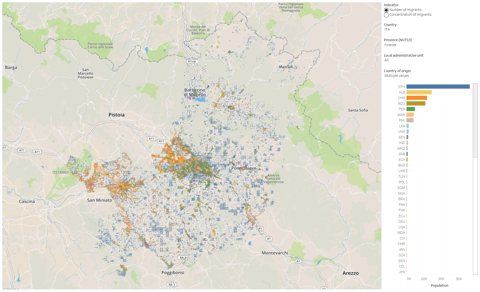
Visualize a map of your choice
Maps of migrants communities in cities
Explore and visualize maps of migrant communities in EU cities. Maps are based on the D4I Census data set.
This tool provides an immediate visualisation of how population and communities are distributed by nationality or country of birth. Comparisons can be made of the concentration, diversity and segregation of migrants within and across cities and nationalities of origin.
Factsheets
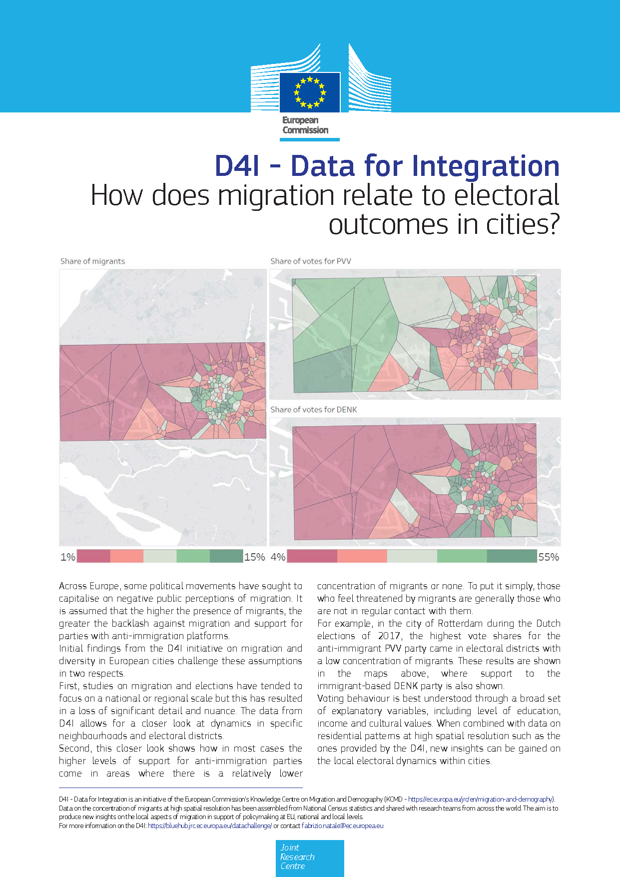
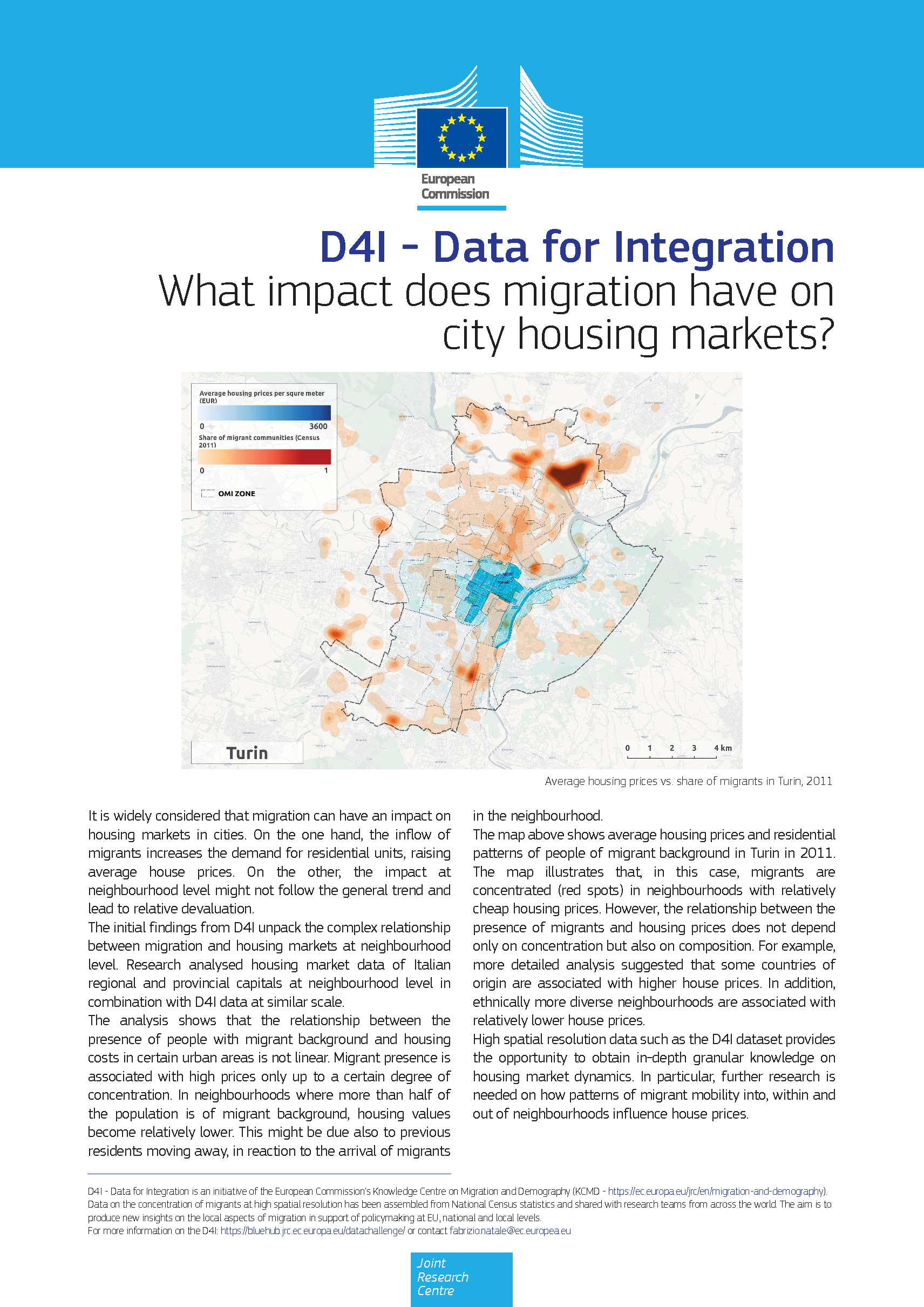
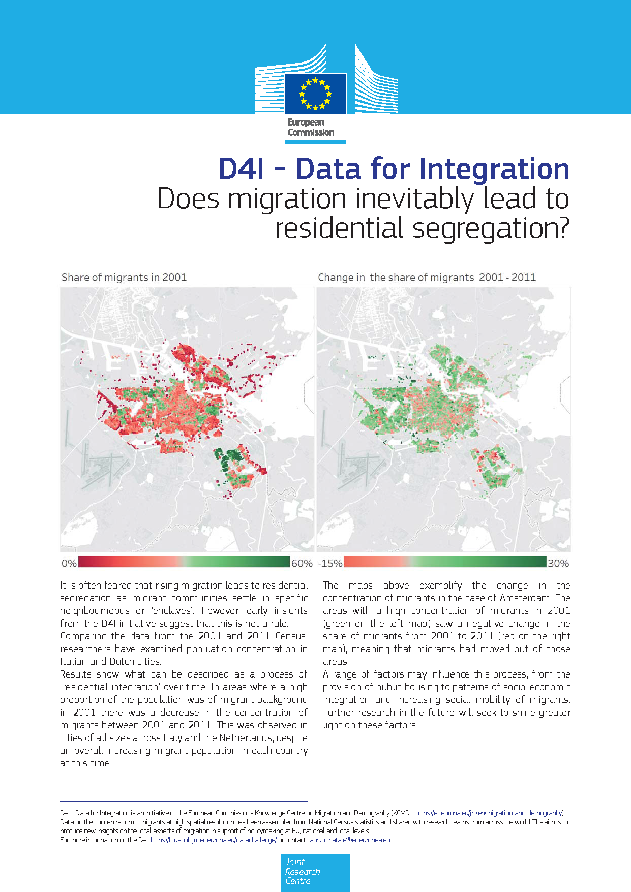
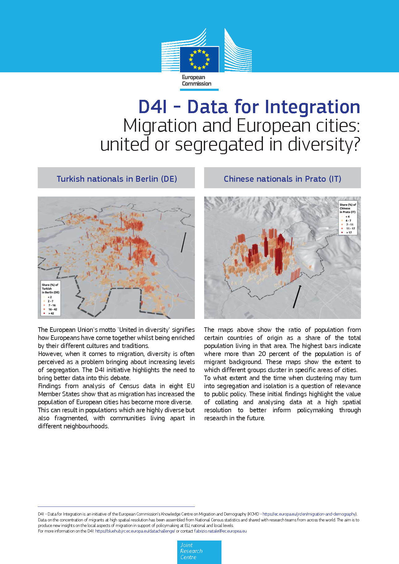
The following factsheets showcase some of the most relevant lines of work carried out by the JRC, using the D4I dataset. This research contributes to shine light on the impact of migration and diversity on a range of local issues, from electoral outcomes to housing markets.
| Originally Published | Last Updated | 15 Jan 2019 | 10 Feb 2020 |
| Knowledge service | Metadata | Migration and Demography | Attitudes and perceptions | Migrant communities |
| Digital Europa Thesaurus (DET) | integration of migrants |
Share this page
