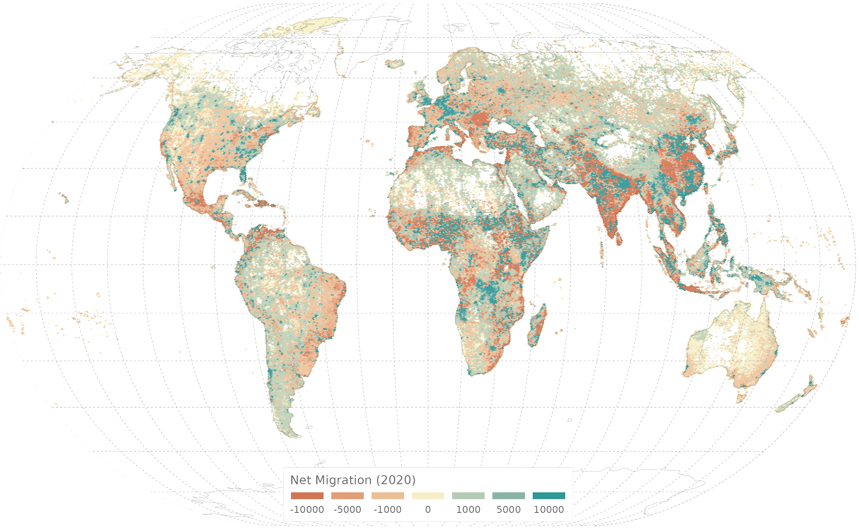
In a new report, scientists from the Joint Research Centre (JRC) explain how they produced a new data set that records how people have been migrating over the past 45 years, down to single square kilometre level.
In particular, JRC scientists were able to produce global net migration estimates at a high spatial resolution of about 1km. This was done by using a technique of dividing the world into very small territories of approximately one square kilometre and recording the number of people entering and leaving this specific small area over five-year intervals, between 1975 and 2020.
The estimation approach was further refined by factoring-in the variation in fertility and mortality rates between rural and urban areas.
The result is a comprehensive set of data on human mobility at a high level of granularity and of significant time span. This data can be combined with climate change indicators in the same territories to study the impact of climate change on human migration, even in specific small areas
The new data set also facilitates the analysis of geographical patterns of urbanisation, rural-urban migration and population redistribution.
The report is an update of the study ‘Estimating net migration at high spatial resolution’ (Alessandrini et al., 2020).
Visualise, explore and download the updated global map of net migration on the KCMD Dynamic Data Hub.
| Originally Published | Last Updated | 17 Mar 2023 | 26 Mar 2024 |
| Related project & activities | Climate Change Induced Migration (CLICIM) |
| Knowledge service | Metadata | Migration and Demography | Demography | Demographic change |
| Digital Europa Thesaurus (DET) | migrationpopulation statisticsclimate change |
| Geographic coverage | World |
Share this page

