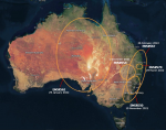
The Copernicus EMS Rapid Mapping module received five activation requests between November 2021 and March 2022 to monitor the impact of the floods on local communities.
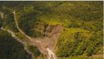
Satellite radar images have long been used to predict and capture the early warning signs of impending natural disasters, including landslides—tons of rock, earth, mud...