In 1973 the Joint Nuclear Research Centres of Europe transformed into the current Joint Research Centre, as the interest in nuclear was lower than in the past and the European Commission decided to broaden the scope of the JRC, including environmental conservation and resource management, particularly in the realm of remote sensing. Furthermore, as the role of the JRC evolved to emphasize the provision of science-based evidence for policymaking, its portfolio of research topics diversified. The history of remote sensing in Europe traces back to its early days, marked by the launch of the Soviet satellite "Sputnik" in 1957, coinciding with the signing of the Treaties of Rome, which heightened awareness about the potential of space exploration.
JRC played a pivotal role in fostering the growth of remote sensing in Europe, a role it continues to fulfill today.
Remote Sensing at JRC
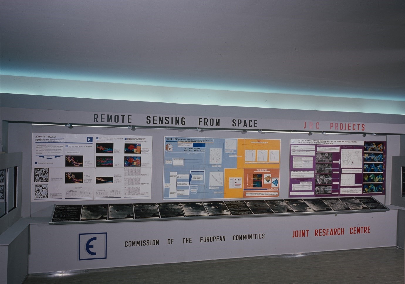
The first remote sensing project at JRC started in 1973 with AGRESTE (Agricultural Resources Investigations in Northern Italy and Southern France). Its primary objective was to compile an inventory of agricultural crops and forests using imagery from Landsat 1, the world’s first civilian global imaging satellite.
The success of the project and the growing interest in remote sensing led to many other projects spanning diverse research fields. However, the overarching focus remained on expanding applications to inform EU policies alongside advancing remote sensing fundamentals and bolstering the EU’s space policy and programmes.
Notable milestones and success stories at JRC include:
The establishment of the Institute for Remote Sensing Applications (IRSA), in 1988, which combined imaging from satellites with other space technologies (like positioning and communications) to explore how Earth Observation (EO) could support policy implementation, particularly in agriculture and forest resource monitoring.
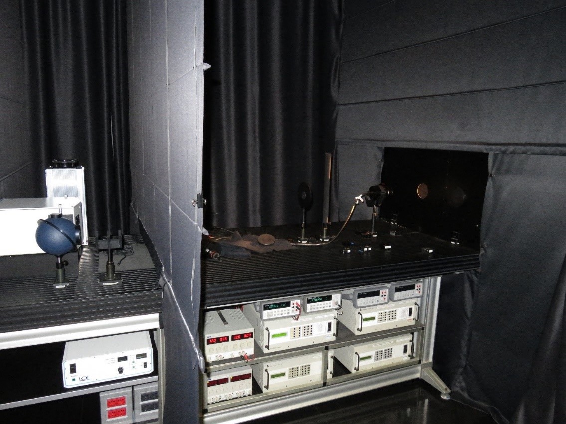
The inauguration of the European Microwave Signature Laboratory (EMSL) in 1992, the first laboratory dedicated to radar remote sensing science, which remains a major reference facility in the context of Global Navigation Satellite Systems (GNSS) supporting Galileo and the standardisation and regulation under the EU Radio Spectrum Policy.
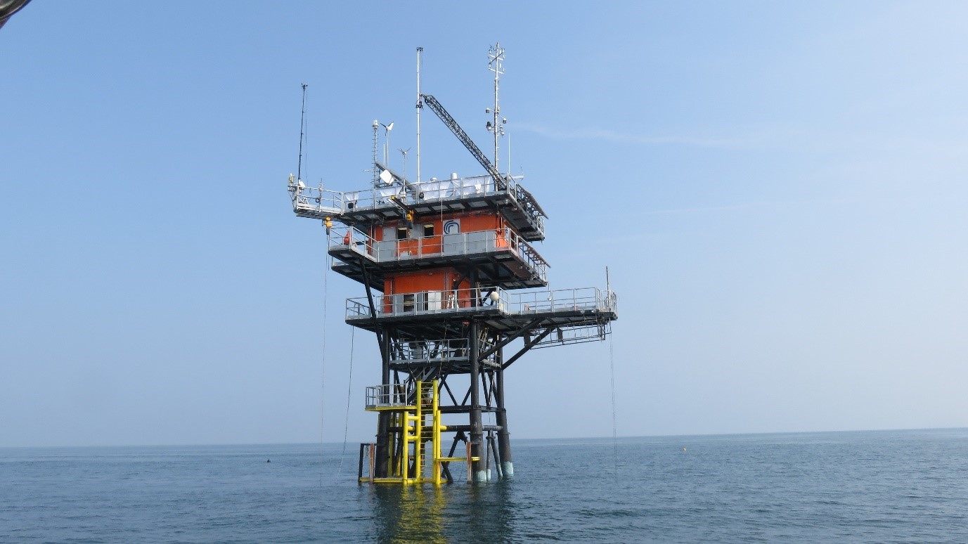
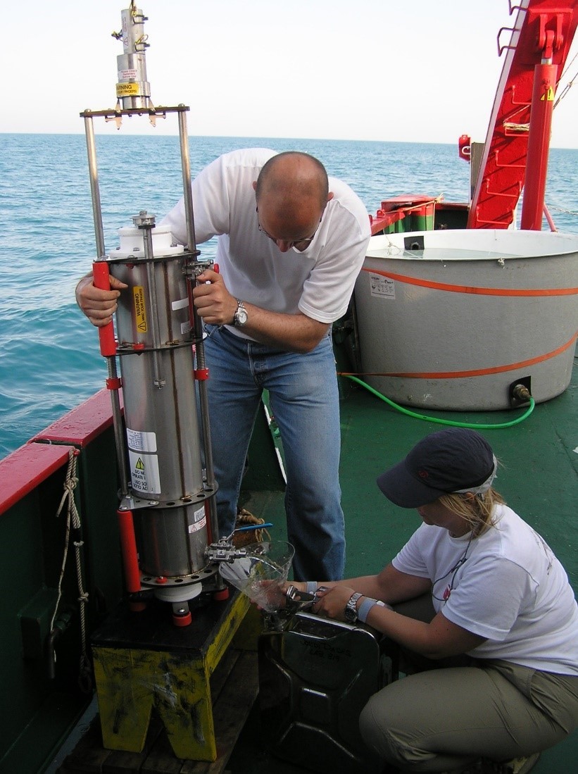
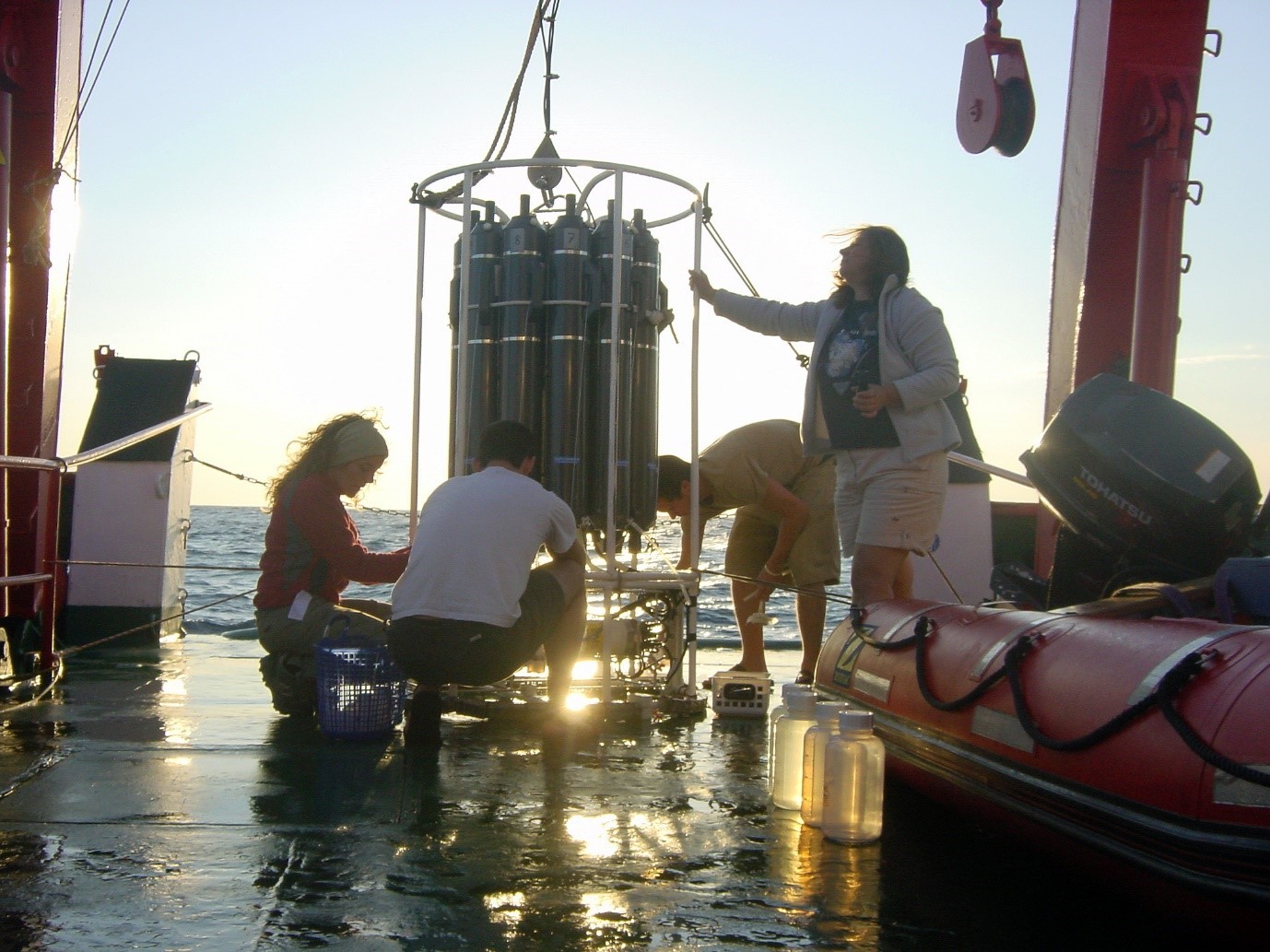
The establishment of the Marine Optical Laboratory in the 1990s, dedicated to satellite ocean colour calibration and validation, essential for supporting the EU operational satellite constellation of Copernicus Sentinel missions.
The Laboratory for Image Processing (LIP), renowned for producing global datasets documenting many facets of world’s changes, including the Global Human Settlement Layer (GHSL), still used today by the EU and the UN for global indicators.
The Monitoring Agriculture with Remote Sensing (MARS) project, the oldest “brand” of JRC and remote sensing, aimed at monitoring crop conditions, forecasting yields and estimating crop production areas at the EU level. Today it is still providing monthly MARS bulletins.
The Tropical Ecosystem Environment Observatory by Satellite (TREES) project, which provides global estimations of tropical deforestation rates through analysis of remotely sensed imagery.
JRC was also instrumental in the genesis of Copernicus. Discussions during the 1998, Annual Users Seminars in Baveno, involving stakeholders from across the EU community, underscored the need to strengthen EO information. This decision eventually led to the creation of the Global Monitoring for Environment and Security programme, now known as the Copernicus Programme.
The list of achievements attributed to JRC's remote sensing endeavours is extensive, reflecting the substantial dedication of JRC colleagues to research in this field.
Today, remote sensing at JRC serves a myriad of researchers in climate, energy, sustainable resources, safety and security.
The JRC's pivotal role in remote sensing has forged significant international partnerships and collaborations beyond the EU, including American, Canadian and other international agencies, as well as with global networks such as CEOS (Committee on EO Satellites), GCOS (Global Climate Observing System), GEO (Group on EO) and UN agencies.
Celebrating 50 years of applied research
In commemorating 50 years of applied research, JRC has been instrumental in shaping numerous European policies across various domains such as agriculture, development co-operation, marine, energy, security, humanitarian aid, trade and space, utilizing remote sensing at different stages of the policy cycle.
Earth Observation at JRC is nowadays a truly cross-cutting activity involving more than four Directorates and ten Scientific Units on a daily basis.
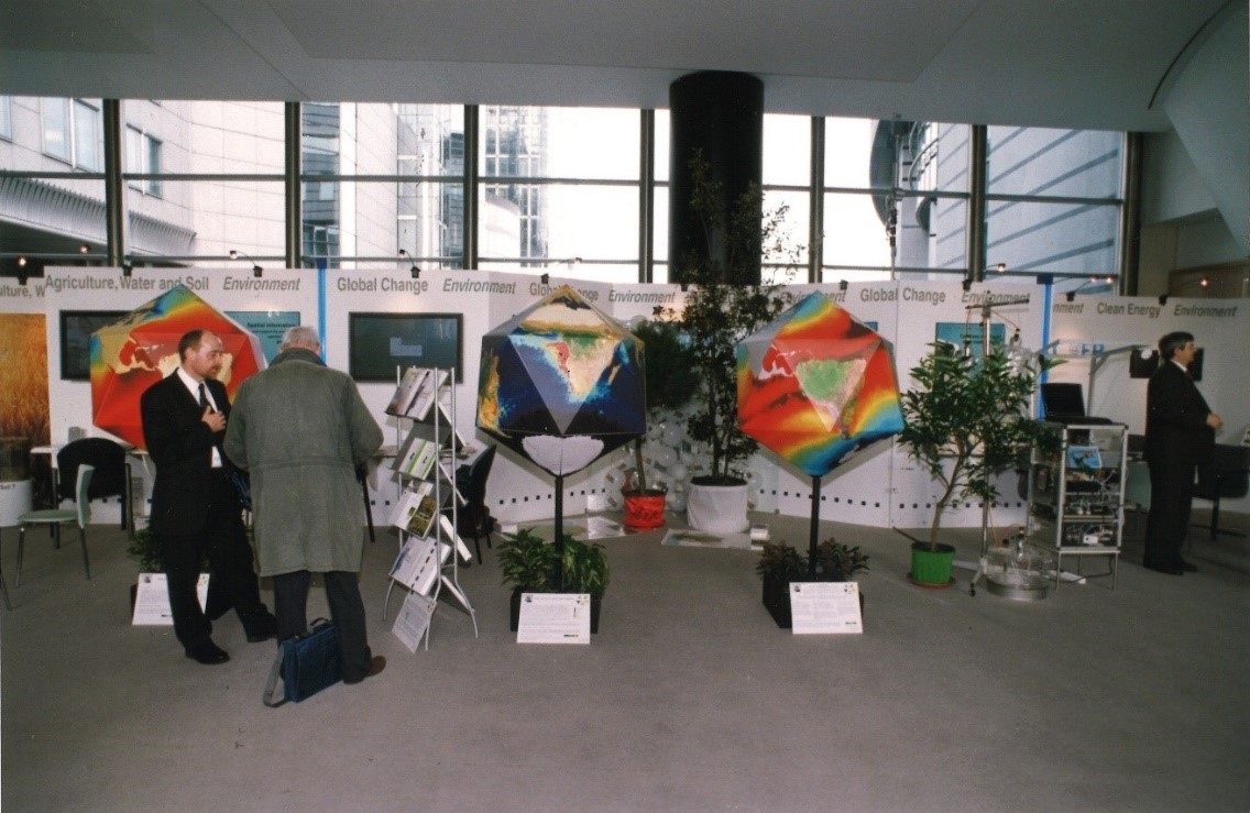
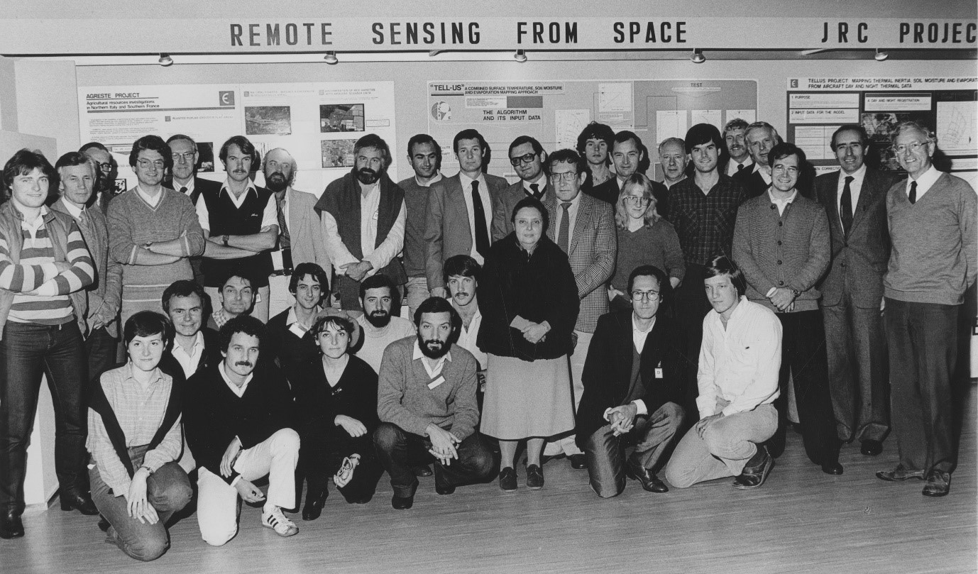
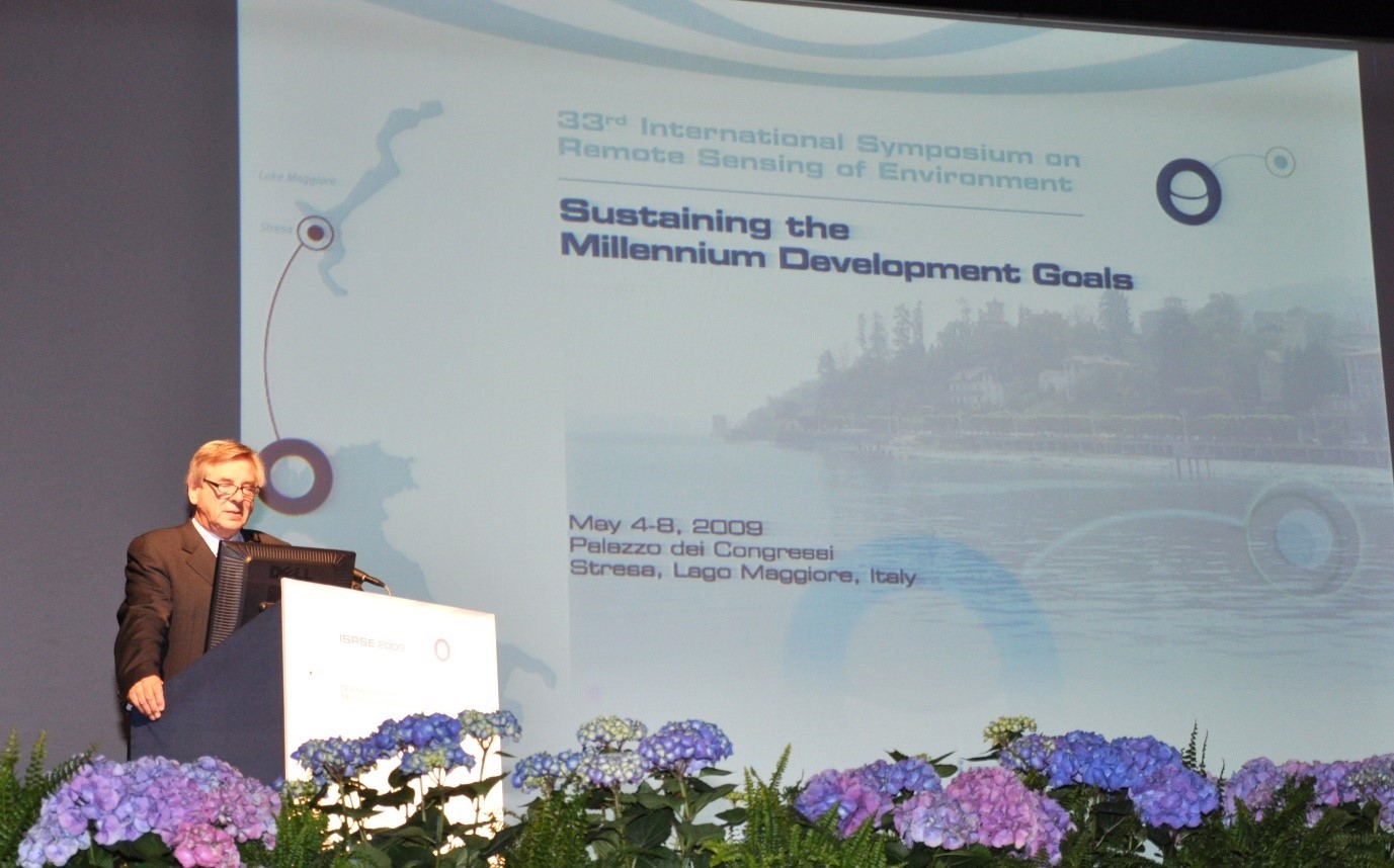
To celebrate this significant milestone, an in-person event was held at JRC in Ispra, with a thematic focus on Past, Present and Future. The Past was revisited through key researchers and projects highlighting the journey from the inception of remote sensing at JRC to the present landscape. Thematic presentations showcased diverse applications of EO at JRC across various policy areas.
The occasion also provided an opportunity to recognise and thank one of the leaders of EO research at JRC, Alan Belward, who after 35 years of service is now retiring. Prior io his retirement he produced an amazing publication on the history of Remote Sensing at JRC [https://publications.jrc.ec.europa.eu/repository/handle/JRC127849].

Looking ahead to the future of Earth Observation research
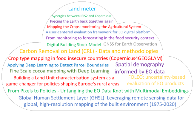
The promising future of Earth Observation research at JRC has been highlighted during the day thanks to the presentations from young scientists across different units. Through their “flash talks”, they provided snapshots of current or prospective projects, offering fresh ideas for inclusion in JRC's future endeavours.
The discussion on the future of EO at JRC prompted reflections on three different topics shaping the direction of future EO activities at the JRC. These include 1) Enhancing data systems and processing 2) Developing lighthouse products that can provide strong foundations for multiple applications and 3) Strengthening last-mile applications for policy implementation, bridging the gap between core EO services should as those provided by Copernicus and their direct uptake into policy and decision-making processes.
These discussions provided the basis for a brainstorming session aimed at charting potential future directions and addressing key challenges to next generation of researchers to uphold JRC's legacy of excellence in remote sensing.
The launch of the Knowledge Centre on Earth Observation in 2021 underscores the European Commision recognition of the significance of EO in Europe and sends a clear message regarding the imperative to explore the vast possibilities and capabilities that EO can offer policymakers.
Related links
A history of remote sensing at the JRC - Belward, A., Hartstra, J., Baruth, B., Beck, P., Carmona Moreno, C., Churchill, P., Craglia, M., Crandon, R., Ehrlich, D., Eva, H., Fortuny Guasch, J., Fullerton, K.T., Kemper, T., Kerdiles, H., Leo, O., Loudjani, P., Maenhout, G., Milenov, P., Pesaresi, M., Pinty, B., Zibordi, G. and Kreysa, J., A history of remote sensing at the JRC, Publications Office of the European Union, Luxembourg, 2022, ISBN 978-92-76-49464-5, JRC127849.
https://publications.jrc.ec.europa.eu/repository/handle/JRC127849
| Originally Published | Last Updated | 21 Mar 2024 | 26 Mar 2024 |
| Knowledge service | Metadata | Earth Observation |